 |
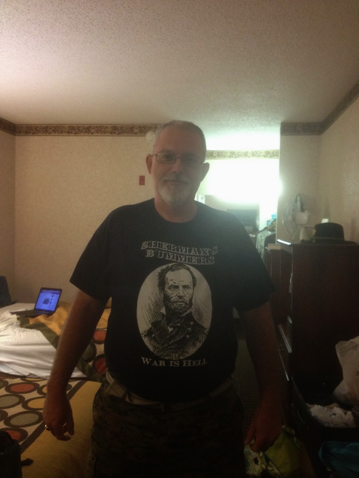
| War is Hell |
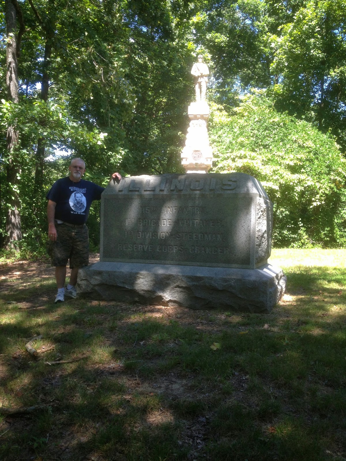 |
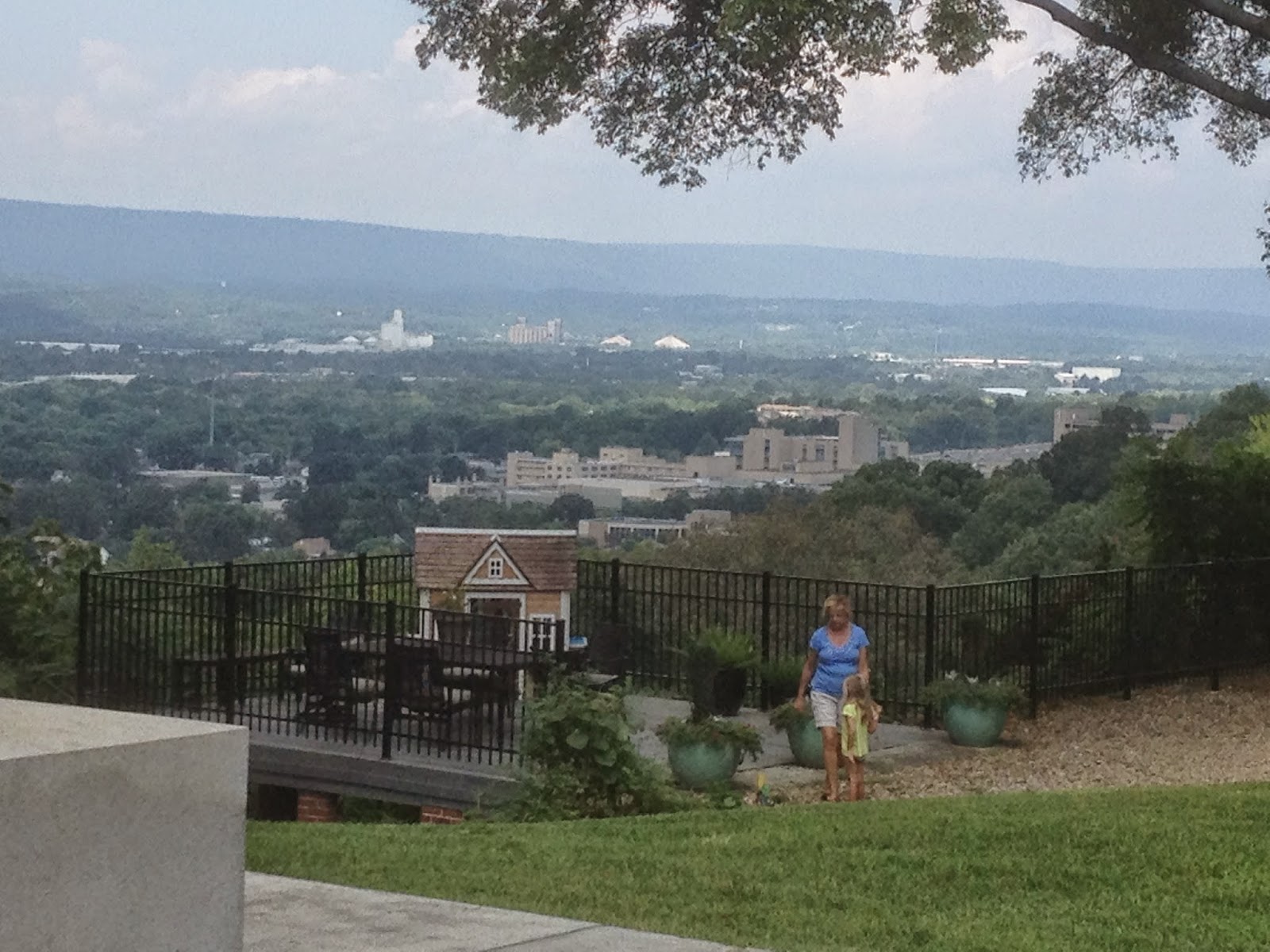
| 115th Ill Monument on Snodgrass Hill |
Oh well, back to pondering how to do this with what I've learned. To start out, the Hurricane and I visited Chickamauga yesterday am (Tuesday) and was it muggy and hot. We went to the Visitor Center (remember-the rangers are very helpful) and it was there that they printed out all the locations of grandpa's unit and marked them on a map. He also reminded us of earlier mentioned ticks, snakes, briars, poison ivy and such. He noted one of the sites where the monument and a marker were at, was back in the woolies. Oh goody, and I HAVE to visit that one. We were also pleased to share the morning off and on with a group of military officers, apparently from the US and other countries. I wondered if they were from Fort Leavenworth's
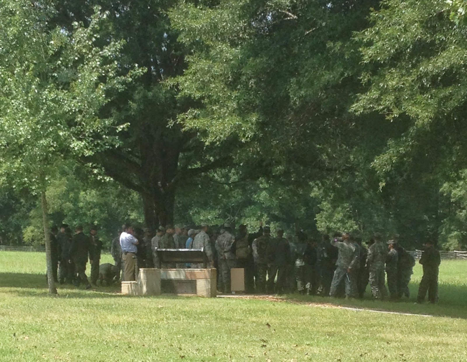 |
| Military at Brotherton Field |
We toured all of the sites where grandpa's unit was and got pictures since I knew once I had compiled that, I could relax somewhat and enjoy the overall picture better. I will describe more in detail about the battles themselves and grandpa's role later but first I think I'll just tell you about our days.
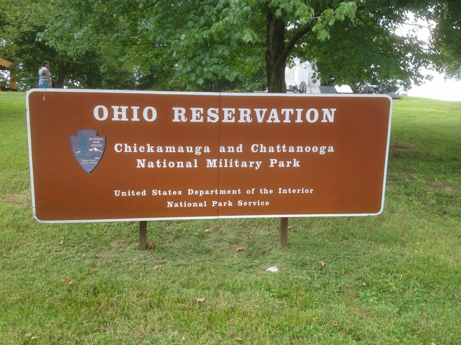
The ranger had marked five sites on the map so we headed out seeing all five, then when we got done, we had to make another stop at the Visitor's Center for the bathroom and bookstore. I got another one of those nice maps that show all the monuments and markers. Its a little more pricey here ($12) as the battlefield's bigger and a lot more markers than at Shiloh. One thing to note: this was the first National Military Park in the nation and was instigated by veterans of both sides who felt that it should be preserved. Many of the actual soldiers who fought took part in the making of the park and gave input to where the unit monuments and markers should be.
We did have to tromp over some fields in hot weather and back through the woods to get to some things but the NPS had at least mowed or cleared paths to each one and they weren't that difficult to find with a little initiative. On top of that, there was the thrill of discovery when we finally found them. So our day wasn't that
 |
| Back in the Woods-the 59th OVI Monument Note the 21st Army Corp Symbol-the Traingle |
After we had seen the sights of Chickamauga, we pulled out, planning to come back Wednesday to do the official tour and fill in some more blanks. We left there to go and see Missionary Ridge. This was very helpful to me as I had always, for some reason, envisioned MR to the SE of Chattanooga-even east of Chickamauga-and this drive cleared a lot of things up for me. That and the fact that the Hurricane had recently read Shaara's book on the Battle of Chattanooga. MR actually sits further north than I thought and overlooks the downtown area of Chattanooga. MR actually runs from the Tennessee river east of Chattanooga and south for many miles, but the battle site is on the north end. When we arrived on Monday we had gone down US 27 which cuts through MR at the Rossville gap and we're staying in Ft Oglethorpe on the eastern slope. When you go there, it's easy to find. Follow US 27 out of Chattanooga into Rossville and as the highway turns east and you head up the hill, you'll see the huge Iowa monument on the left. Take that road (West Crest) up the hill to South Crest and follow all along the ridge staying on South and North Crest drive. It's a grand tour among a lot of big old houses (the park ranger said the reason why it's was never taken as part of the NPS is that the movers and shakers of Chattanooga lived there after the war and still do today!). There are several plots of land or "reserves" held by the NPS with some monuments but most of
The earlier feeling that MR wasn't that big of a deal we felt when on Lookout Mountain changed as we drove the crest. MR drops away steeply on the west side and is covered with trees, brush, and undergrowth. Originally, the Confederates had rifle pits at the base of the ridge and then troops and cannon at the top. At it stretches for about 3 miles so you can imagine how difficult it looks from the top. I can only imagine what it was like at the bottom looking up!
 |
| Confederates view from Missionary Ridge. You can see how these heights commanded the town |
As we wound our way along the crest I began to see unit signs that were familiar as we slowly made our way. We had to watch out for other cars as the road is narrow, apparently made in the early 20th century. Parts of it are quiet and easy to drive slowly but there are parts where the traffic picks up. On one of the quieter stretches between the Turchin and DeLong Reservations suddenly there it was! The marker for the location of the 59th Ohio is in the front yard of 132 North Crest. It had started to rain a bit but I wasn't to be dissuaded. The Vibe was basically sitting in one lane with the flashers on since there was little room to pull over. As I was taking pictures,the lady of the house came out and I said "hi". She said "Hello, where are you from?" I told her "Kansas and my grandpa was here 150 years ago" hoping to spur a conversation with the
 |
| 132 N Crest-Me & the 59th |
Back down the hill and head for the Vibe and we decide on the way back we'd like some ice cream. Having not found any by the time we reach the Super 8 I say we ought to find a Wendys since they have good vanilla frostys. That sounds good so we find one back towards town in a not-so-good part of town but we're driving through so what's the big deal. I wheel up to the drive through to order: "One chocolate Frosty in a waffle cone and one large vanilla Frosty in a cup" "Uh-can you say that again and a lot slower?" came the southern lass's voice at the other end. "O...K..." and I repeat it real slow, trying to make my Yankee voice soften and drawl a little bit. Then we wait. And wait. "Uh,are those both chocolate?" "No..." and I repeat it real slow again. Now we're good and up to the window. I hand in my card to the nice girl and she hands me back a chocolate waffle cone that looks like it was made yesterday. I'm glad it's the Hurricane's. Next comes my card and the receipt. Then my large cup, with lid. That's it. "Have a nice day!" she says. "Wait, wait!" I says. "Could I possibly have a straw or a spoon?" "Oh yeah, sure!" I got the straw. On the way back to the Super 8 I alternated with opening the lid and sucking what I could while I drove and putting the lid back on and sucking my brains out trying to get it through he straw. Later the next day we found a nicer Wendy's-about 500 yards the OTHER direction from the Super 8. Go figger.
Well this morning dawned nice and cool with low humidity and almost chilly as we went back to Chickamauga and down into the woods. But before that we had a nice breakfast at the all the waffles you can eat continental breakfast at the Super 8. We met a nice mom and dad with four little boys and one in a car carrier. I asked the dad, "another boy?" "No, we finally got a girl". We had a good chat with them and when I asked the boys what the adventure of the day was, they said,"we're moving into our new house!" They were moving from Texarkana to Ringgold and starting a new life. I told them how fortunate they were to be going to live with so much history around them. Momma said they were all home-schooled and seemed a bit bashful but we broke that ice when the Hurricane said we'd home-schooled our youngest and then they were off to the races. Felt like we were old friends by the time we'd left.
We went on to the battlefield and took the real tour which filled in a lot of gaps (more on that later if you want to hang around and hear the battle stories) then the Hurricane wanted to visit Orchard Knob, the site of
 |
| Orchard Knob and Grant's view East to the 59th's position on Missionary Ridge. "Who told those troops to take the ridge?" Grant. "Wasn't me"-Thomas.On their own initiatve yelling "Chickamauga!" they took the ridge |
Well, we stopped at a roadside fruit market with some very helpful folks on the way back. The helpful guy was describing what they had and the prices but between my ever increasing hard hearing and his southern mumble jargon I simply looked sheepish and waited for the Hurricane to do the dickerin'. We came away with a melon and a bag of Georgia peaches. Yummy!
said,"even if it's a picnic area, it's in a National Park, a battlefield, and hallowed ground, like a cemetery. It should be respected". Yep she's a keeper..So if you're in a national park , or a cemetery, and tempted to litter-think of a veteran, help out the Hurricane and PICK YOUR D*** TRASH UP! We're raising a generation of selfish, disrespectful pigs. Ok I'm done.
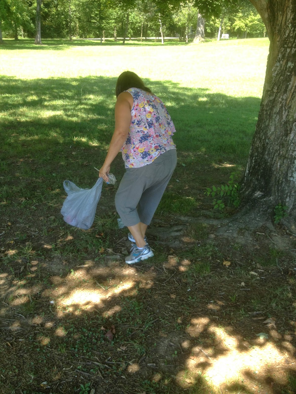 |
| Be respectful-she is! |
No comments:
Post a Comment